Whats new
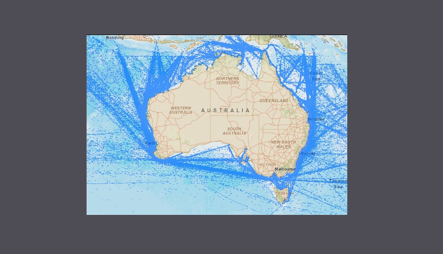
Vessel Traffic Data May 2024
Vessel Traffic Data May 2024
The Craft Tracking System (CTS) is AMSA’s vessel traffic database. CTS collects vessel traffic data from a variety of sources, including terrestrial a...
22/03/2026 6:15:26 PM
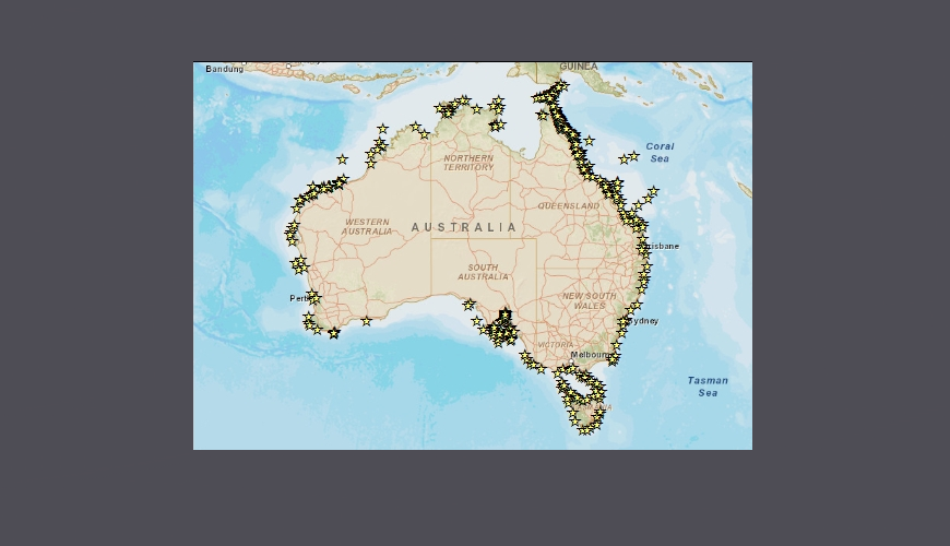
Vessel Traffic Data Sub-areas February 2026
Vessel Traffic Data Sub-areas February 2026
The Craft Tracking System (CTS) is AMSA’s vessel traffic database. CTS collects vessel traffic data from a variety of sources, including terrestrial a...
22/03/2026 12:31:21 AM
Vessel Traffic Data August 2025
Vessel Traffic Data August 2025
The Craft Tracking System (CTS) is AMSA’s vessel traffic database. CTS collects vessel traffic data from a variety of sources, including terrestrial a...
21/03/2026 3:30:28 PM
A collection of datasets for download. Location based data products used to support safety activities in the marine environment. These products are suitable for use in a geographic information system or GIS.
Data is subject to a licence agreement. (Free)
A series of contemporary maps available for download. Maps are suitable for printing, inclusion in reports, presentations and as educational material.
Data is subject to a licence agreement. (Free)
Assisted Information Requests
Please note that due to limited resources and internal operational requirements, we are unable to provide custom AIS data sets or products other than what is currently available for download. Vessel identifier information is also not able to be provided due to contractual restrictions with our service provider.
Specific AIS data can be sourced from private AIS service providers.